
Wide-area, high-resolution aerial imagery for projects too big for drones.
One flight can cover multiple sites across the region, with PPK-geotagged imagery handed off for professional photogrammetry processing and survey-grade control.
Gig Harbor, WA — based at Tacoma Narrows Airport (KTIW)
Aerial imaging built for large and multi-site jobs
Manned flights cover ground that would take drones days, and several nearby sites can be combined into a single trip.
GIS orthoimagery
Project-area orthoimagery for public agencies and engineering firms.
Stockpile volume flights
Gravel pit and aggregate stockpile flights, monthly or quarterly, covering several pits in one trip.
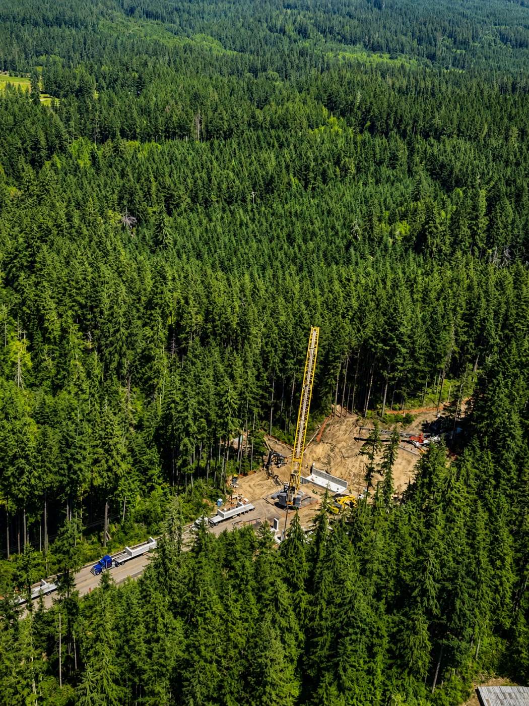
Timber & storm damage
Timber harvest progress tracking and storm-damage checks across large tracts.
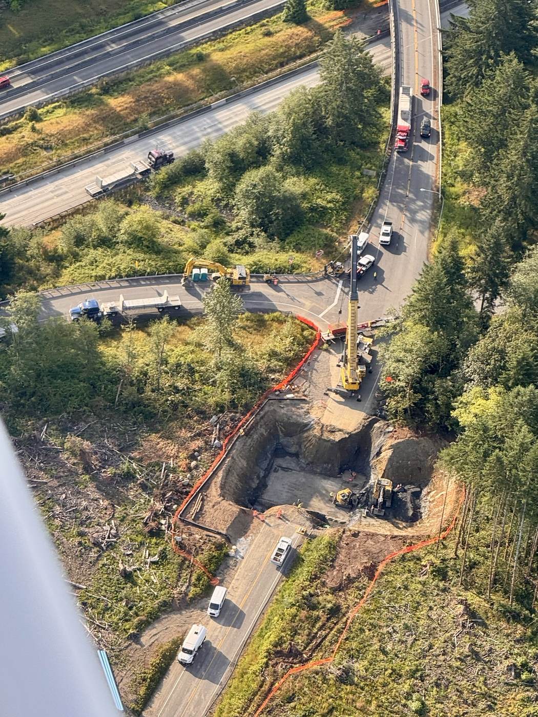
Construction & civil mapping
Mapping for construction and civil projects, with survey control and staking available through the team.
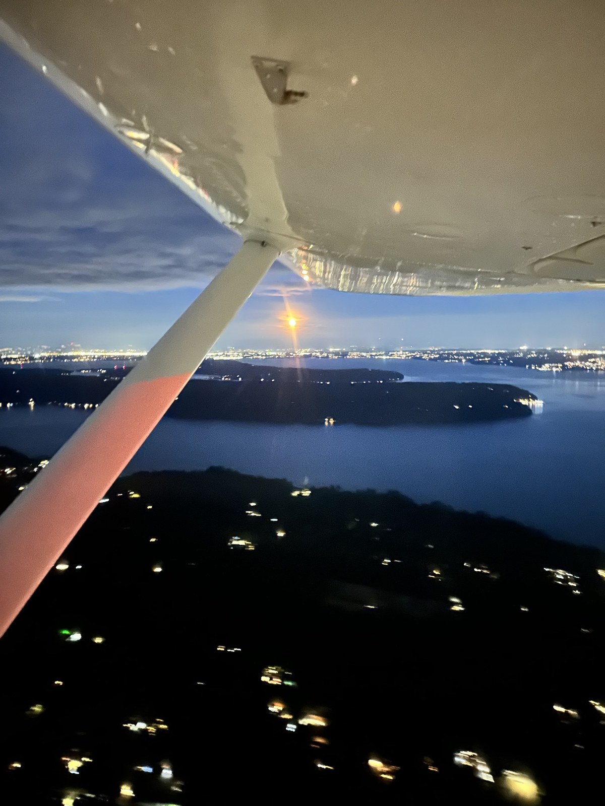
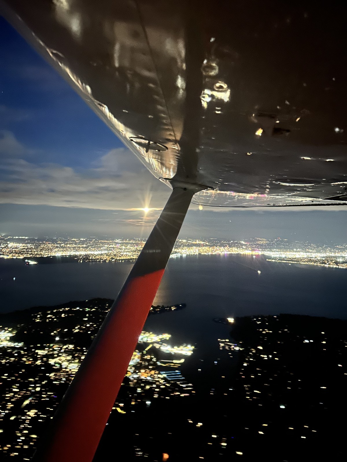
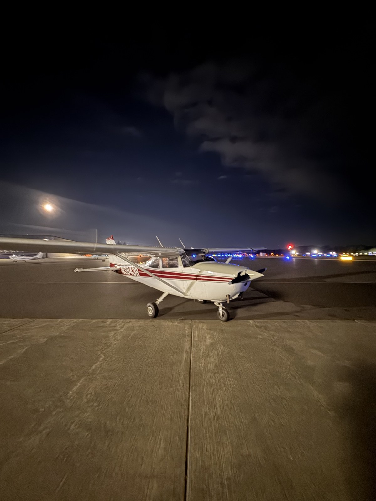
Views from N3843R
Aircraft & sensor
A dedicated mapping platform with PPK-geotagged imagery ready for professional photogrammetry.
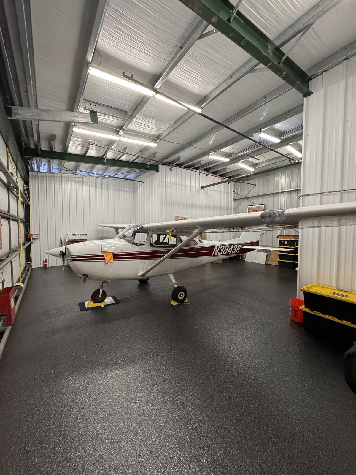
- AircraftCessna 172 with Recon Mini wing-strut sensor pod
- CameraSony ILX-LR1, 61 MP, with 50 mm lens
- GeotaggingEmlid Reach M2 PPK
- Home baseTacoma Narrows Airport (KTIW), Gig Harbor, WA
One call, a complete mapping team
Harbor View Air works in partnership with Maven Mapping, Anchor Line Geomatics, and HCPA Construction.
Harbor View Air
Manned aerial image capture.
Maven Mapping
Drone jobs and all photogrammetry processing and deliverables: orthomosaics, DSMs, and stockpile volume reports.
mavenmappingsolutions.com →Anchor Line Geomatics
Survey control and construction staking (licensed surveying).
anchorlinegeo.com →Plan, fly, process, deliver
Plan
We scope the area, resolution, and schedule, and coordinate survey control where needed.
Harbor View Air · Anchor LineFly
The Cessna 172 captures PPK-geotagged imagery, often covering multiple sites in one flight.
Harbor View AirProcess
Imagery is handed off for professional photogrammetry processing.
Maven MappingDeliver
Orthomosaics, DSMs, and stockpile volume reports, delivered for your project.
Maven MappingAerial acquisition from $650 per flight hour, including aircraft, commercial pilot, sensor pod, and fuel. Processing and survey services quoted per project.
Ask about recurring monthly or quarterly flight programs.
Chris Parshall
(206) 396-7594 chris.parshallHarbor View Air LLC · Gig Harbor, WA
Based at Tacoma Narrows Airport (KTIW)